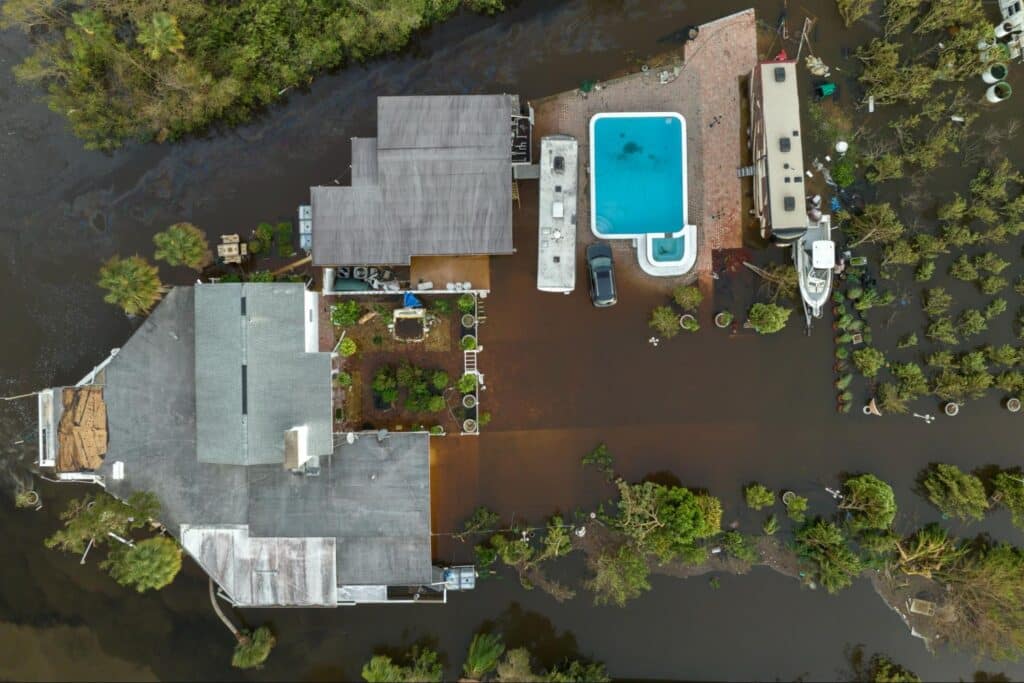
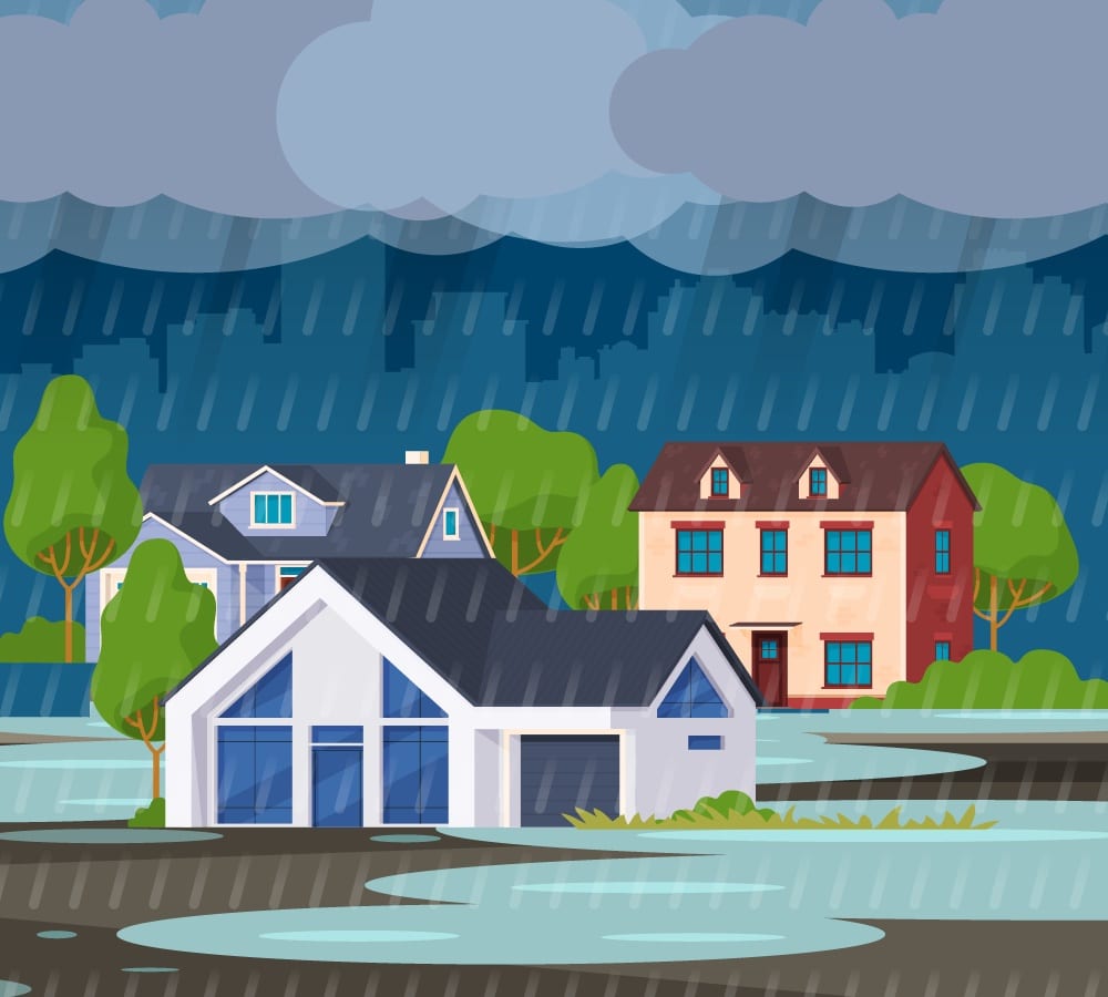
Understanding the risk of flooding is crucial for anyone owning or considering purchasing property. One of the primary tools for assessing this risk is the Federal Emergency Management Agency (FEMA) flood zone maps. These maps categorize areas based on their flood risk, influencing not only safety precautions but also insurance requirements and costs.
Obtaining the right flood insurance is essential for financial protection. This comprehensive guide will help property owners navigate the complexities of FEMA flood zones, shedding light on their significance and providing actionable insights for protection and preparedness.
Introduction to FEMA Flood Zone Maps
FEMA flood zone maps represent geographic areas the agency has defined according to varying levels of flood risk. These zones are depicted on FEMA’s Flood Insurance Rate Maps (FIRMs) and serve as a crucial reference for homeowners, prospective buyers, and real estate professionals. Understanding these zones is essential because they impact building codes, insurance premiums, and, most importantly, the safety and financial security of property owners.
For homeowners and property buyers, being informed about flood zones can mean the difference between securing suitable flood insurance coverage and facing unexpected financial burdens due to flood damage. Since standard homeowners insurance policies typically do not cover flood damage, knowing your property’s flood zone can help you take necessary steps to obtain appropriate flood insurance and implement mitigation strategies.
Terms To Know:
When reading a FEMA Flood Map, it’s important to be familiar with certain terms to properly understand the information presented.
- Base Flood Elevation (BFE): The computed elevation to which floodwater is anticipated to rise during a base flood, often referred to as the 1% annual chance flood, or 100-year flood.
- Floodplain Management Ordinances: Local regulations that control development in flood-prone areas to minimize flood damage.
- Special Flood Hazard Area (SFHA): A zone where there is a significant risk of flooding, specifically areas where there is at least a 1% chance of flooding in any given year.
- Floodway: The channel of a river or other watercourse and the adjacent land areas that must remain open to discharge the base flood without increasing the water surface elevation by more than a designated height.
The Role of FEMA in Mapping Flood Zones
FEMA is responsible for identifying flood hazards, assessing flood risks, and providing accurate flood maps for communities across the United States. The agency collaborates with various organizations, including local governments and environmental agencies, to collect data and update flood maps regularly. These maps are essential tools for community planning, emergency management, and informing the public about flood risks.
FEMA updates flood maps through studies that analyze factors such as rainfall data, river flow rates, topography, and changes in land use. Accurate flood maps are vital for community planning and safety because they inform building codes, guide development away from high-risk areas, and help communities implement effective floodplain management practices. They also play a critical role in determining flood insurance requirements and premiums under the National Flood Insurance Program (NFIP).
Understanding Different Flood Zone Designations
FEMA categorizes flood zones using specific designations to indicate the level of flood risk in each area. Here is an overview of the primary flood zone categories:
- All A Zones: All Zones A, AE, AH, AO, AR and A99 are areas with a high risk of flooding due to proximity of a pond, stream, river or protective barrier under construction. These are subject to a one percent annual chance of flooding (also known as the 100-year floodplain). In communities that are part of the NFIP, homeowners and businesses with mortgages backed by the federal government are required to buy flood insurance.
- Zone V and VE: High-risk coastal areas with additional hazards due to storm-induced waves. These zones have a thirty-six percent or greater chance of flooding annually. Flood insurance is mandatory for federally backed mortgages in communities participating in the NFIP.
- Zone B & X (shaded): B and X Zones denote areas that have a moderate likelihood of flooding. These regions might have reduced flooding risks due to mitigation measures like levees, or they may experience shallow flooding, with water typically being less than one foot deep or affecting areas smaller than one square mile. Obtaining flood insurance is recommended for properties located in these zones.
- Zone C & X (unshaded):Areas labeled as having minimal flood hazard are typically shown on Flood Insurance Rate Maps (FIRM) as being above the 500-year flood level. In Zone C, there might be issues like ponding and local drainage challenges, but these don’t justify an in-depth study or classification as a base floodplain. Meanwhile, Zone X refers to areas considered to be beyond the reach of a 500-year flood and are safeguarded by levees from 100-year floods.
- Zone D: Zone D encompasses regions where the risk of flooding hasn’t been established because no flood hazard analysis has been carried out. As a result, flood insurance rates in these areas reflect the uncertainty regarding potential flood risk.
Understanding these designations is crucial for property owners. The flood zone your property is in affects not only your risk of flooding but also flood insurance requirements and premiums.
The Impact of Flood Zones on Property Insurance Coverage
Flood zones significantly influence flood insurance policies. Standard homeowners insurance policies typically do not cover flood damage. Therefore, property owners must obtain separate flood insurance to protect against losses from flooding. The flood zone designation of a property plays a critical role in determining:
- Insurance Requirements: Properties in high-risk flood zones (Zones A and V) are often required to have flood insurance if they have a mortgage from a federally regulated lender.
- Premium Costs: Flood insurance premiums are calculated based on several factors, including flood zone designation, base flood elevation, property elevation, building construction, and mitigation measures. Properties in high-risk zones generally face higher premiums due to the increased likelihood of flooding.
- Coverage Limits: Under the NFIP, residential properties can receive up to $250,000 for building coverage and $100,000 for contents, as detailed in the NFIP Coverage Limits.
Investing in flood insurance is not just a requirement but a critical step in safeguarding your most valuable asset—your home.
Understanding the necessity of flood insurance in high-risk zones is essential. Without adequate coverage, property owners risk significant financial loss in the event of a flood. Moreover, flood insurance provides peace of mind, ensuring that you can recover and rebuild after a flood event.
Evaluating Flood Risk for Homeowners and Buyers
Assessing a property’s flood risk is a critical step for both current homeowners and prospective buyers. Here are steps to evaluate flood risk effectively:
- Consult FEMA Flood Maps: Access the FEMA Flood Map Service Center to view current flood maps for your area. These maps provide detailed information about flood zones and risk levels.
- Use Property Risk Assessment Tools: Tools like ClimateCheck provide comprehensive reports on flood risk, using advanced data analytics to help you understand potential vulnerabilities.
- Consider Historical Data: Research the property’s history for any past flooding incidents. Local government offices or neighbors may provide valuable insights.
- Evaluate Elevation: The elevation of a property relative to the base flood elevation can significantly impact flood risk and insurance premiums.
- Professional Assessment: Engage a licensed surveyor or engineer for a detailed flood risk assessment, especially if considering purchasing property in a high-risk area.
Understanding flood risk is not only about insurance—it’s about safety and preparedness. Floods can cause extensive damage, and being informed allows you to take proactive measures to protect your property and family.
Flood Insurance Options
Federal flood insurance requirements mandate that properties in high-risk flood zones (Zones A and V) with mortgages from federally regulated or insured lenders must have flood insurance. The primary source of flood insurance in the United States is the National Flood Insurance Program (NFIP), managed by FEMA.
National Flood Insurance Program (NFIP)
The NFIP provides flood insurance to property owners, renters, and businesses in participating communities. Key aspects of the NFIP include:
- Availability: Offered in over 23,000 communities that participate in NFIP by adopting and enforcing floodplain management ordinances.
- Coverage Limits: Up to $250,000 for residential building coverage and $100,000 for contents.
- Premium Determination: Based on factors like flood zone designation, building age, occupancy, number of floors, and elevation.
Private Flood Insurance Options
In addition to the NFIP, property owners can consider private flood insurance options. Advantages of private flood insurance may include:
- Higher Coverage Limits: Private insurers may offer coverage beyond the NFIP limits.
- Customized Policies: More flexibility to tailor coverage to individual needs, including additional living expenses and replacement cost coverage for contents.
- Competitive Premiums: In some cases, private flood insurance may offer better rates than NFIP policies.
It’s important to compare options and work with an insurance professional to determine the best flood insurance solution for your situation.
Flood Mitigation Strategies for Reducing Flood Damage
Implementing flood mitigation strategies can significantly reduce the risk of flood damage and may also lower flood insurance premiums. Here are practical tips for homeowners:
Structural Mitigation
- Elevation: Raising your home above the base flood elevation reduces flood risk and can lower flood insurance costs.
- Install Flood Vents: Flood vents allow water to flow through crawl spaces or basements, reducing structural pressure from floodwaters.
- Use Flood-Resistant Materials: Incorporate materials like tile flooring, waterproof wall coverings, and mold-resistant insulation in areas prone to flooding.
- Dry Flood-proofing: Seal walls with waterproof coatings and install barriers to prevent water entry.
Non-Structural Mitigation
- Landscaping: Design your landscape to divert water away from the property using swales or rain gardens.
- Maintain Drainage Systems: Keep gutters, downspouts, and drainage areas clear of debris to ensure proper water flow.
- Community Efforts: Participate in or advocate for community initiatives such as wetland restoration, improved drainage infrastructure, and floodplain management ordinances.
According to a case study on community-based flood resilience efforts, implementing flood mitigation measures can also correlate with reductions in homeowner insurance premiums. By enhancing flood resilience through community engagement and structural improvements, homeowners can potentially qualify for lower rates on flood insurance (Climate Toolkit Case Study).
Benefits of Mitigation
Investing in mitigation measures not only protects your property but can also result in:
- Insurance Discounts: Implementing approved mitigation measures may qualify you for reduced flood insurance premiums.
- Increased Property Value: Flood-resilient properties are more attractive to buyers.
- Enhanced Safety: Reducing flood risk contributes to the overall safety and resilience of your community.
The Benefits of Independent Insurance Agents
Navigating flood insurance and mitigation options can be complex. Independent insurance agents play a vital role in guiding property owners through this process. Benefits of working with an independent agent include:
- Expert Advice: Agents provide personalized consultations to assess your specific flood risk and insurance needs.
- Access to Multiple Carriers: Independent agents can offer a range of insurance options from various providers, ensuring you find the best coverage at competitive rates.
- Claims Assistance: In the event of a flood, agents can assist you in the claims process, advocating on your behalf for fair and prompt settlements.
- Ongoing Support: As your circumstances or flood risks change, agents can help you adjust your coverage accordingly.
At Torian Insurance, we understand the unique challenges faced by property owners in Southern Indiana, Illinois, and Kentucky. Our commitment to personalized service means we work closely with you to develop custom insurance solutions that provide peace of mind.
Be Prepared for Anything with Torian Insurance
Understanding FEMA flood zones is essential for property owners and prospective buyers. Being informed about your property’s flood risk allows you to make educated decisions regarding flood insurance coverage and mitigation strategies, ultimately protecting your investment and ensuring your safety.
Floods can happen anywhere, and even properties outside high-risk zones can be vulnerable. By taking proactive steps—evaluating your flood risk, securing appropriate flood insurance coverage, and implementing mitigation measures—you can reduce the potential impact of flooding on your property.
Discover how our team can help you protect your home and loved ones at Torian Insurance. Secure your peace of mind today—contact us for a personalized flood insurance plan tailored to your needs.
Watch the video below to learn more about how severe weather can affect your premium: